-
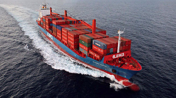 Latin American Line
The Latin American lines refer to the Americas south of the United States and the continent between 32°42' north latitude and 56°54' south latitude. It is divided into five regions: the west of South America, Central America, Mexico, the Caribbean, and the east of South America.
-
 Mexico Line
The Mexican line refers to Mexico's port routes. Mexico is located in North America, borders the United States in the north, Guatemala and Belize in the southeast, the Pacific Ocean in the west, and Eastern Mexico is constrained by the Gulf of Mexico and the Caribbean. The capital city of Mexico City is the third largest country in Latin America. Mexico is located in the south of North America and northwest of Latin America. It is the only place for land transportation in South America and North America. It is known as the“l(fā)and bridge”. Mexico city borders the United States to the north, Guatemala and Belize to the south, the Gulf of Mexico and the Caribbean Sea to the east, and the Pacific Ocean and the Gulf of California to the west. The coastline is 11122 kilometers long. Among them, the Pacific coast is 7,828 kilometers, the Gulf of Mexico and the Caribbean coast are 3,294 kilometers. The main ports of the Mexico Line are: MANZANILLO, LAZARO CADENAS, ENSENADA, MEXICO CITY, VERACRUZ.
-
 South American West Line
The South American West line mainly guides the national port routes of the West Coast. South America is located in the southern part of the Western Hemisphere, with the Atlantic Ocean to the east, the Pacific Ocean to the west, the Caribbean Sea to the north, and the Antarctic across the Drake Strait. It is generally divided into North America by the Panama Canal. The approximate range is the mainland to the Branco corner in the east (34°46′ west longitude, 7°09′ south latitude), south to the Froeder horn (71°18′ west longitude, 53°54′ south latitude), west to Cape Parinhas (81°20′ west longitude, 4°41′ south latitude), north to Cape Garenas (71°40′ west longitude, 12°28′ north latitude). The main ports of the South American West line are: Colombia: BUENAVENTURA, Peru: CALLAO, Ecuador: GUAYAQUIL, Chile: IQUIQUE, VAL PARAISO, SAN ANTONIO. There is also a landlocked country, Bolivia, which is generally transported through Arica, Chile.
-
 South American East Line
The South American East line consists mainly of all port routes on the east coast of South America. South America is located in the southern part of the Western Hemisphere, with the Atlantic Ocean to the east, the Pacific Ocean to the west, the Caribbean Sea to the north, and South across the Drake Strait and facing Antarctica. It is generally divided into North America by the Panama Canal. (Divided in 1914). The approximate range is the mainland to the Branco corner in the east (34°46' west longitude, 7°09' south latitude), and the Froeder angle to the south (71°18′ west longitude, 53°54 south latitude), west to Parignhas (81°20' west longitude, 4°41' south latitude), north to Garenas cape (71°40′ west longitude, 12°28′ north latitude). The main ports of the South American East line are: Argentina: BUENOS AIRES , Uruguay: MONTEVIDEO, Brazil: SANTOS, PARANAGUA, RIO GRANDE, RIO DE JANEIRO, ITAJAI, Paraguay: ASUNCION.
-
 Caribbean Line
The Caribbean line is distributed in Central America, and Central America includes Cuba, Dominica, Dominican Republic, Haiti, Jamaica, Barbados, Antigua and Barbuda, Aruba, Bahamas, British Virgin Islands, Cayman Islands, Grenada, and guadeloupe, Martinique, Montserrat, Netherlands Antilles, Saint Kitts and Nevis, Saint Lucia, Puerto Rico, Saint Vincent and the Grenadines, Trinidad and Toba Brother, Turks and Caicos Islands and the US Virgin Islands. The main ports of the Caribbean line are: KINGSTON, CARTAGENA, CAUCEDO, Port of Spain, PORT AU PRINCE, POINT LISAS. Some countries and regions here belong to South America, but the routes are divided into the Caribbean, Venezuela: PUERTO CABELLO, LA GUAIRA, GUANTA, MARACAIBO, GUARANAO; Suriname: PARAMARIBO; Guyana: GEORGETOWN.
-
 Central American Line
The Central American line refers to the central part of the American continent to the south of Mexico and north of Colombia. It borders the Caribbean Sea to the east and the Pacific Ocean to the west. It is also a narrow land connecting South America and North America. The main ports of the Central American route are: Guatemala: PUERTO QUETZAL, Nicaragua: CORINTO, El Salvador: ACAJUTLA, Costa Rica: PUERTO CALDERA, Honduras: PUERTO CORTES. The Panamanian national ports in this region are generally listed separately: BALBOA, PANAMA CITY.
-
 European Line
The European line includes Europe, the Mediterranean Sea, the Black Sea, and North Africa.
Europe is located in the northwestern part of the Eastern Hemisphere, west of Asia. It faces the Arctic Ocean to the north, the Atlantic Ocean to the west, South across the Mediterranean and Africa, the Ural Mountains to the east, the Ural River, the Greater Caucasus Mountains, the Bosphorus, the Dardanelles and Asian boundaries, and the northwest is separated from the Greenland Sea, and the Danish Strait is opposite to North America. Scope: The mainland extends to the Ural Mountains in the polar east, to the corner of Marocchi in the south, to the Cabo Roca in the west, and to the corner of Norrchen in the north. There are 44 countries and regions in Europe. Geographically, it is divided into five regions: Southern Europe, Western Europe, Central Europe, Northern Europe and Eastern Europe. The main ports of the European line are: United Kingdom: FELIXSTOWE, Germany: HAMBURG, BREMERHAVEN, Belgium: ANTWERP, Netherlands: ROTTERDAM, France: LE HAVRE. -
 The Mediterranean Line
The Mediterranean line is generally divided into the western Mediterranean and the eastern Mediterranean in shipping, also referred to as the west line and the east line.
The Mediterranean has an important position in both transportation and strategy. It can pass west through the Atlantic Ocean in the Strait of Gibraltar, Northeast through the Turkish Strait to the Black Sea, and the southeast passes through the Suez Canal and the Red Sea reaches the Indian Ocean. It is an important channel between Europe, Asia and Africa, and an important channel between the Atlantic Ocean and the Indian Ocean. Important coastal ports include Marseille (French), Genoa, Naples (Italian), Split, Rijeka (Croatia), Durres (Albania), Algiers (Algeria), and Port Said (Egypt).
The main ports in the western Mediterranean are: Spain: VALENCIA, BARCELONA, Italy: GENOVA, NACLES, LA SPEZIA, France: FOS. The main ports in the eastern Mediterranean are: Greece: PIRAEUS, THESSALONIKI. Egypt: ALEXANDRIA, DAMIETTA, PORT SAID. Turkey: ISTANBUL, IZMIR, MERSIN, GEMLIK. Cyprus: LIMASSOL. Lebanon: BEIRUT. Syria: LATTAKIA. Israel: ASHDOD, HAIFA. -
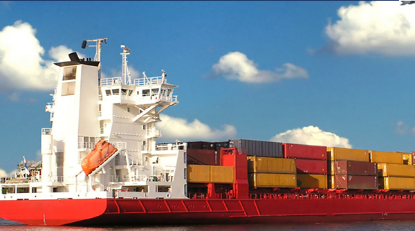 Black Sea Line
The Black Sea line refers to the port routes on the Black Sea coast. The longest from east to west is 1150 kilometers, and the widest from north to south is 911 kilometers, the middle is the narrowest 263 kilometers, and the coastline is about 3,400 kilometers long. The Black Sea is the inner sea between southeastern Europe and Asia's Asia Minor Peninsula. It is the largest inland sea in the world and is named after the darkness of the water and the many storms. The Black Sea flows westward through the Bosphorus, the Marmara Sea, the Dardanelles and the Mediterranean Sea, and connects to the Azov Sea through the Kerch Strait. The northern coast of the Black Sea is Ukraine, the northeast is Russia, Georgia is on its east coast, Turkey is on the South Bank, Bulgaria, Romania and Moldova are on its west coast. The Black Sea is the gateway to Ukraine, Bulgaria, Romania, southwestern Russia and the world market. The main ports of the Black Sea line are: Ukraine: ODESSA, Romania: CONSTANTZA, Georgia: POTI, Bulgaria: BURGAS, VARNA, Russia :NOVOROSSIYSK.
-
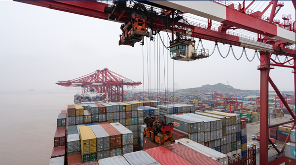 North African line
The North African line is located in the northern part of the African continent and is customarily used as a large area north of the Sahara. The area is 8.37 million square kilometers. North Africa longitude range: about 36 degrees east longitude (Egypt. Red Sea) - about 16 degrees west longitude (Western Sahara), latitude range: 19 degrees north latitude (Algeria) - north latitude 37 degrees (Mediterranean, Tunisia Ben. Cica). Main ports in North Africa: Algeria: ALGIERS, SKIKDA, ORAN, Morocco: CASABLANCA, AGADIR, Tunisia: TUNIS, Libya :MISURATAH, BINGAZI, TRIPOLI.


